Seltannasaggart
Mountain in Roscommon, Ireland

Seltannasaggart
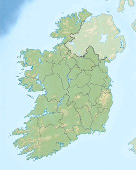
County Roscommon/County Leitrim, Republic of Ireland
Seltannasaggart (from Irish Sailtean na Sagart, meaning 'willow plantation of the priests'),[2] also called Corry Mountain, is a low mountain near Lough Allen on the border of County Roscommon and County Leitrim in Ireland; it is the highest point in Roscommon.
Geography
The mountain is the highest point of County Roscommon. It is part of the Arigna Mountains and rises to a height of 428 metres (1,404 ft).[1] On the southern slopes are the remains of a promontory fort and sweat houses.
Access to the summit
There is a wind farm and a quarry on the summit, which is easily accessible. The Miners Way trail passes over it.
See also
- Lists of mountains in Ireland
- List of Irish counties by highest point
- List of mountains of the British Isles by height
References
- ^ a b c d "Seltannasaggart". MountainViews.ie.
- ^ Tempan, Paul. Irish Hill and Mountain Names. MountainViews.ie.
- v
- t
- e

Mountains and hills of Connacht | |||||||
|---|---|---|---|---|---|---|---|
| Achill Island |  | ||||||
| Dartry Mountains | |||||||
| Maumturks | |||||||
| Mweelrea Mountains | |||||||
| Nephin Range | |||||||
| Ox Mountains | |||||||
| Partry Mountains | |||||||
| Sheeffry Range | |||||||
| Benna Beola |
| ||||||
| Others | |||||||
 | This article related to the geography of County Roscommon, Ireland is a stub. You can help Wikipedia by expanding it. |
- v
- t
- e


