Kyrkjetaket


Kyrkjetaket
Kyrkjetaket (Norway)
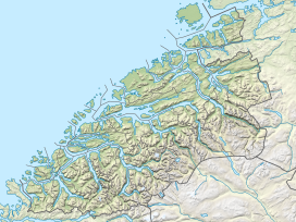
Show map of NorwayKyrkjetaket or Kirketaket is a mountain on the border of the municipalities of Rauma and Nesset in Møre og Romsdal county, Norway. The 1,439-metre (4,721 ft) tall peak is located in Rauma, about 7 kilometres (4.3 mi) northeast of the village of Isfjorden and 12.4 kilometres (7.7 mi) from the town of Åndalsnes. The mountain Gjuratinden lies about 9 kilometres (5.6 mi) southeast of Kyrkjetaket. The name Kyrkjetaket translates to "the Church roof".


In February 2004, it was chosen as one of Norway's 10 finest alpine mountains by the magazine Fri Flyt.[1]
See also
References
- ^ "Kirketaket in Isfjorden". Retrieved 2010-10-26.
- v
- t
- e


